

Layers Included in the Crude Oil Dataset
-

Refined Product Pipelines
-

Crude Oil Refineries
-

Liquid Terminals
-

Terminal Tanks
-

Propane Distribution
-

Refined Product Pump Stations
-

Rail Roads
-

Tanker Vessel Tracking
-

Biodiesel Plants


The Upstream Oil & Gas Dataset compiles data from:
-

Federal sources
-

States sources
-

Private Proprietary sources


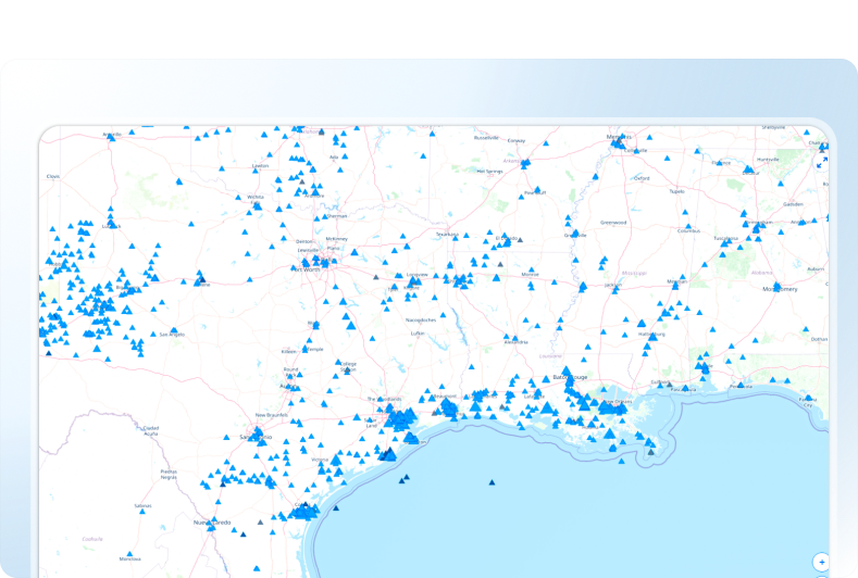
The Refined Products Pipelines data contains transmission, gathering, and distribution lines conveying refined petroleum products across North America.
It covers a range of important attributes, including:
- Pipeline Name
- Operator, sub-operator, and owner
- System and Subsystem name
- Diameter
- Status
- Type
- Transportation capacity

The Products Pump Stations data represents booster stations along refined-products pipelines—vital for maintaining product flow and system pressure.
The following key attribute information can be found for the acreages:
- Pump station name
- Operator, sub-operator, and owner
- Commodity
- Status
- Type
- Previous Owner
- Status
- Type
The Liquid Terminals data represents crude oil and refined-products terminals—point assets where products are stored, transferred, and blended.
It covers a range of important attributes, including:
- Terminal name
- Operator, sub-operator, and owner
- Commodity Detail
- Number of Tanks
- Access (pipe, rail, truck, water)
- Pipelines Serving
- Rail service/transload
- Rail Facility Type
- Capacity (Storage/Transportation)
- Previous Owner
- Status
- Type
The Crude Oil Refineries data captures assets—point features representing each refinery’s technical specifications, operational status, and processing capabilities.
It covers a range of important attributes, including:
- Refinery name
- Operator and owner
- Capacity
- Lifecycle metadata

- Status
The Terminal Tanks layer documents each refined‑product storage tank—supporting inventory management, capacity planning, and logistics coordination.
It covers a range of important attributes, including:
- Terminal Name
- Operator, sub-operator, and owner
- Commodity/Commodity Detail
- Storage Capacity (bbls)
- Tank Diameter (m)
- Tank Height (m)
- Acreage
- Area in Meter
- Area in SQF
- Status

- Deadweight
- Gross Tonnage
- Breadth
- Length
- Draught (avg) / max)
- Year Built
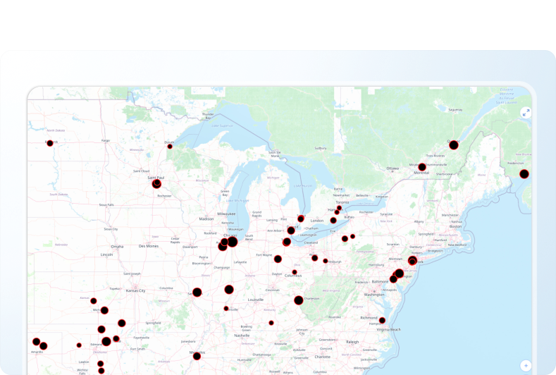
The Tanker Vessel Tracking feature class catalogs real‑time positions and technical details of tankers carrying oil, refined products, and other liquids—supporting supply‑chain visibility, port operations, and environmental monitoring.
The following key attribute information can be found for the acreages:
- Name
- IMO
- MMSI
- Callsign
- Heading
- Course
- Speed (avg) / (max) / (NM)
- Destination Port / Country / Region / State
- Home Port
- Deadweight
- Gross Tonnage
- Breadth
- Length
- Draught (avg) / max)
- Year Built

Schedule a demo or start your trial today with Rextag!


How Energy Professionals Use Rextag Data
Rextag’s Refined Products Dataset is an essential resource for professionals in midstream operations, fuel distribution, energy trading, and infrastructure development. It offers:
 Detailed mapping
 Extensive coverage
 Accurate, up-to-date insights
 Strategic intelligence

By leveraging this dataset, businesses can enhance operational efficiency, optimize supply routes, and develop data-driven strategies for fuel distribution and market growth.
Why Rextag?


Additional Premium Features for Rextag Users
With the Energy DataLink application, every Rextag Premium user also gets additional access to a range of helpful auxiliary datasets.
-

01
Parcel ownership data, PLSS and Texas survey data, railroads, cities, ports, and more.
-

02
Auxiliary environmental dataset such as wetlands, flood hazards, land cover, and others.
-

03
Weather Services (Current & Forecasted) Rain, snow cover, tropical storm warnings, temperature trends, etc., relevant for operational risk assessment.


A premium subscription lets you have access to non-GIS Databases:


