

Layers Included in the Power & Renewables Dataset
-

Powerline Poles
-

Power Plants (All Types)
-

Substations
-

Powerlines
-

Pricing Nodes
-

Hydrogen Plants
-

Hydrogen Pipelines
-

Biodiesel Plants
-

Energy Storage
-

Oil Seed Plants
-

Biomass
-

Carbon Capture Storage
-

CO2 Pipelines
-

Renewable Natural Gas
-

Ethanol Biorefineries
-

Geothermal Sites
-

Landfills
-

Methane Landfills


-

Wind Turbines
-

Wind Speeds
-

Wind Speeds - Raster
-

Solar Installation Footprints
-

Solar DNI
-

Solar DNI - Raster
-

Renewable Alt Filling Stations
-

Electricity Services Territories
-

NERC Regions
-

Independent System Operators
-

Balancing Authorities
-

Energy Communities Coal Closure
-

Energy Communities MSA & NonMSA
-

Emission Sources


The Upstream Oil & Gas Dataset compiles data from:
-

Federal sources
-

States sources
-

Private Proprietary sources


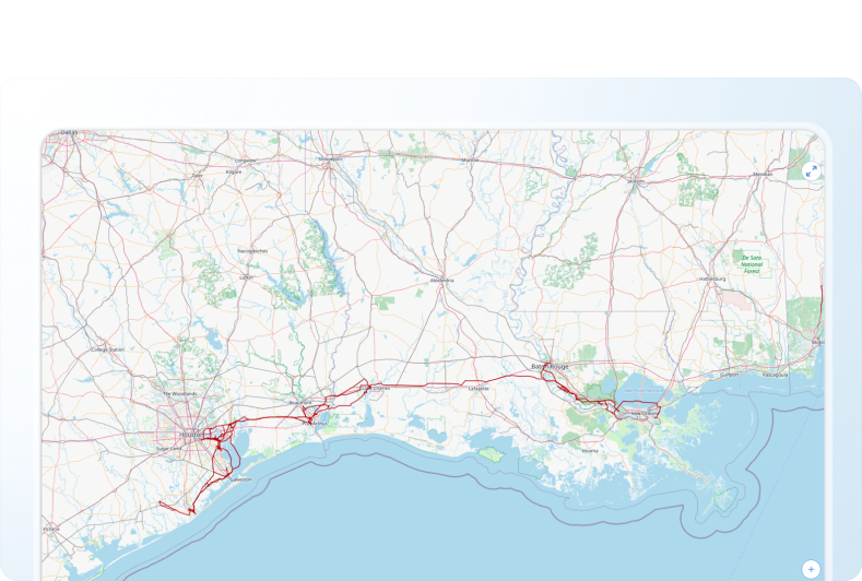
Power lines data tracks electricity transmission and distribution line types.
It covers a range of important attributes, including:
- Name
- Operator and Owner
- Operating Status, Type, and Pole Class
- Kilovolts of power of transmission line (kV)
- Install Year
Power Plants data covers tens of thousands of power plants, including coal, natural gas, nuclear, hydro, wind, solar, biomass, and geothermal plants.
The following key attribute information can be found for the power plants:
- PFacility Name
- Operator and Owner
- Status
- Capacity (MW)
- Energy Source
Prime Mover (Turbine, Steam, Internal Combustion, etc.)

Hydrogen Plants data tracks hydrogen production plants
With attributes such as:
- Name
- Operator and Owner
- Status
- Production Capacity (mmcfd)
- Fuel Type
- Source
Hydrogen Pipelines data tracks thousands of miles of hydrogen transmission and distribution pipelines
Including:
- Name
- Operator and Owner
- Type and Status
- Diameter
- Transportation Capacity

Wind Turbines data includes hundreds of thousands of wind turbine locations
Tracking:
- Name
- Operator and Owner
- Status
- Prime mover
- Capacity (MW)

Energy Storage data tracks storage facilities
With attributes including (but not limited to):
- Name
- Operator and Owner
- Status
- Capacity (MW)
- Maximum charge and discharge (MW)
- Storage Technology
- Duration (hrs)
Carbon Capture Storage data includes more than a hundred carbon capture and sequestration (CCS) projects.
Other key attributes also include:
- Name
- Operator, Sub-operator, and Owner
- Type and Status
- Minimum and Maximum Capture Capacity (mpta)

Landfills data covers more than ten thousand landfills.
Tracking:
- Facility Name
- Operator and Owner
- Type (Electricity, Direct, Renewable Natural Gas)
- Status
- Amount of landfill gas (mmscfd)

Schedule a demo or start your trial today with Rextag!


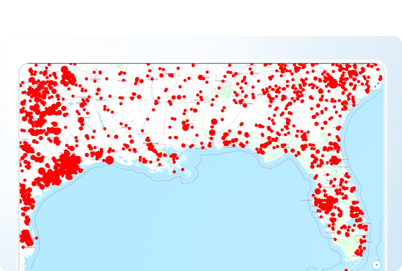
How Energy Professionals Use Rextag Data
Power & Renewables Companies leverage our data for the following primary use case:

Renewable energy developers need to identify optimal locations for their projects.
They prioritize sites near power lines and substations to ensure seamless interconnection and efficient energy distribution.
Why Rextag?


Additional Premium Features for Rextag Users
With the Energy DataLink application, every Rextag Premium user also gets additional access to a range of helpful auxiliary datasets.
-

01
Parcel ownership data, PLSS and Texas survey data, railroads, cities, ports, and more.
-

02
Auxiliary environmental dataset such as wetlands, flood hazards, land cover, and others.
-

03
Weather Services (Current & Forecasted) Rain, snow cover, tropical storm warnings, temperature trends, etc., relevant for operational risk assessment.


A premium subscription lets you have access to non-GIS Databases:


