1
/
of
6
U.S. Natural Gas Infrastructure
U.S. Natural Gas Infrastructure
Regular price
$125.00
Regular price
$329.00
Sale price
$125.00
Unit price
/
per
Couldn't load pickup availability
SSL Secure Payments
100% Money-Back Guaranteed
Delivery 1-7 Days
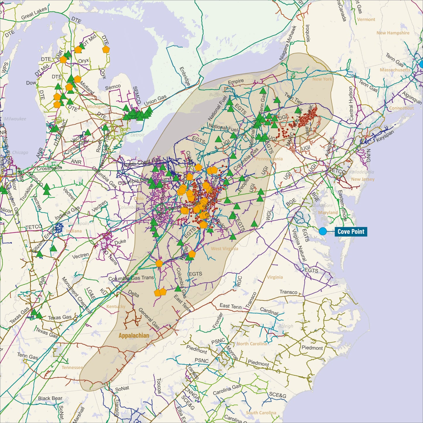
U.S. Natural Gas Infrastructure Map: Foldable and Portable!
Explore the intricate details of the U.S. Natural Gas infrastructure with our newly updated U.S. Natural Gas Infrastructure Map. Now available in a convenient 34" x 22" size and folded for easy use, this map is designed to meet the needs of professionals and enthusiasts alike.
Printed on high-quality matte paper, this map delivers a clear, visually appealing, and easy-to-read design, perfect for understanding the extensive gas transmission network across the country.
Key Features:
- Natural Gas Pipelines (Operational, Transmission)
- LNG Terminals (Operational Facilities)
- Major Natural Gas Wells (More than 2 BCF annual production)
- Gas Processing Plants (More than 50 MMCf/d Capacity)
-
Gas Storage Facilities (More than 10 BCF Capacity)
This foldable map is compact, convenient to use, and provides the accuracy and detail required for in-depth analysis


Featured products
-
- Choosing a selection results in a full page refresh.
- Opens in a new window.
Ask Rextag Assistant!Rextag Assistant
Ask anything — I’m here to help!Welcome 👋Your guide to energy data & infrastructure.


