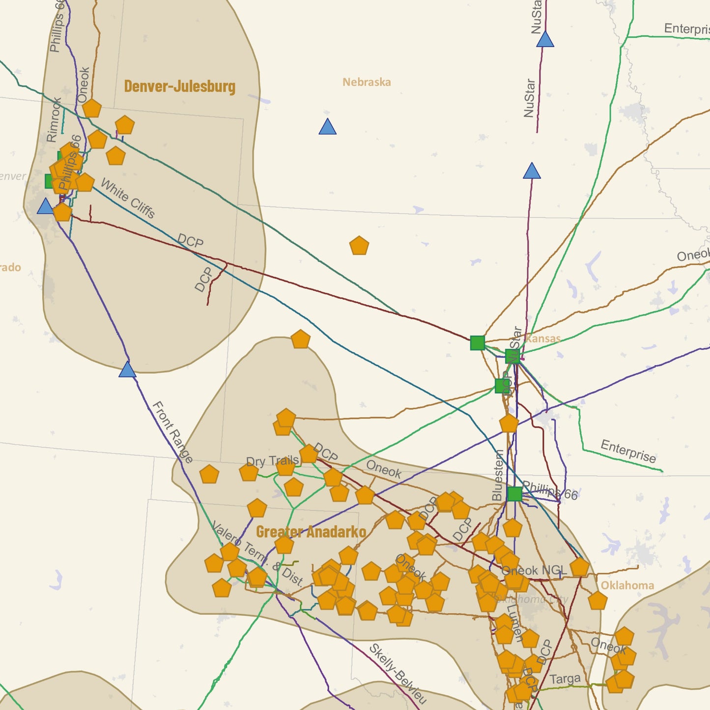
U.S. NGLs and Other Liquids Infrastructure
U.S. NGLs and Other Liquids Infrastructure
Couldn't load pickup availability
SSL Secure Payments
100% Money-Back Guaranteed
Delivery 1-7 Days
U.S. NGLs and Other Liquids Infrastructure Map: Now Foldable and Convenient!
Gain a complete understanding of the NGL/LPG/HVL pipeline systems and the country’s petrochemical and processing capabilities with our newly updated U.S. NGLs and Other Liquids Infrastructure Map. Now available in a foldable 34" x 22" size, this map is designed for professionals seeking accurate and detailed insights into the liquids market.
Printed on high-quality matte paper, this map offers a clear and accessible visual guide to the infrastructure essential to the U.S. energy sector.
Key Features:
- Highly Volatile Liquids Pipelines (NGLs, LPGs, Operational, Transmission)
- Ethane Crackers (Operational)
- Gas Processing Plants (Operational, 50 MMCf/d)
- Fractionators (Operational)
-
HVL Storage Terminals (Operational, Storage > 100,000 BBL)
This folded map is perfect for convenient use and compact display in any workspace, offering exceptional precision and reliability for industry professionals.


Featured products
-
- Choosing a selection results in a full page refresh.
- Opens in a new window.
Ask Rextag Assistant!Rextag Assistant
Ask anything — I’m here to help!Welcome 👋Your guide to energy data & infrastructure.


